
Kelliher topographic map
Interactive map
Click on the map to display elevation.
About this map
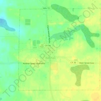
Name: Kelliher topographic map, elevation, terrain.
Location: Kelliher, Beltrami County, Minnesota, VS (47.93300 -94.46117 47.95423 -94.42909)
Average elevation: 1,358 ft
Minimum elevation: 1,312 ft
Maximum elevation: 1,388 ft