
Lingayapalem topographic map
Interactive map
Click on the map to display elevation.
About this map
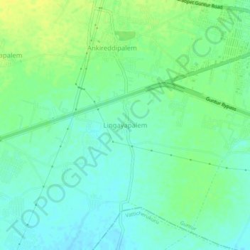
Name: Lingayapalem topographic map, elevation, terrain.
Location: Lingayapalem, Guntur, Andhra Pradesh, 522007, India (16.25599 80.37379 16.29599 80.41379)
Average elevation: 105 ft
Minimum elevation: 79 ft
Maximum elevation: 141 ft