
Arrowsmith topographic map
Interactive map
Click on the map to display elevation.
About this map
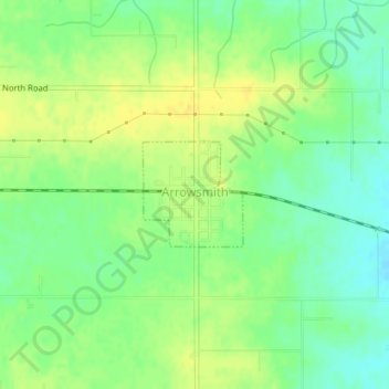
Name: Arrowsmith topographic map, elevation, terrain.
Location: Arrowsmith, McLean County, Illinois, USA (40.44565 -88.63651 40.45298 -88.62734)
Average elevation: 873 ft
Minimum elevation: 830 ft
Maximum elevation: 912 ft