
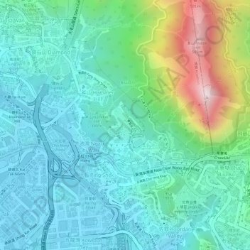
Ngau Chi Wan Park topographic map
Interactive map
Click on the map to display elevation.
About this map
Name: Ngau Chi Wan Park topographic map, elevation, terrain.
Average elevation: 482 ft
Minimum elevation: -10 ft
Maximum elevation: 1,936 ft
Other topographic maps
Click on a map to view its topography, its elevation and its terrain.
Ma On Shan Country Park
Ma On Shan Country Park, 倒靴脊, Fung Wong, Diamond Hill, Lion Rock Upper Village, Wong Tai Sin District, Hong Kong, NKIL 6318, PRC
Average elevation: 627 ft