
Sorgun topographic map
Interactive map
Click on the map to display elevation.
About this map
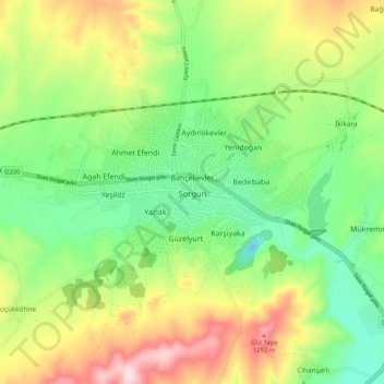
Name: Sorgun topographic map, elevation, terrain.
Location: Sorgun, Yozgat, Central Anatolia Region, 66700, Turkey (39.77013 35.14543 39.85013 35.22543)
Average elevation: 3,743 ft
Minimum elevation: 3,330 ft
Maximum elevation: 4,383 ft