
达活泉街道 topographic map
Interactive map
Click on the map to display elevation.
About this map
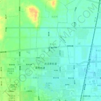
Name: 达活泉街道 topographic map, elevation, terrain.
Location: 达活泉街道, 信都区, 邢台市, 河北省, 054000, 中国 (37.08184 114.46633 37.12339 114.49588)
Average elevation: 253 ft
Minimum elevation: 220 ft
Maximum elevation: 328 ft