
东台山岛 topographic map
Interactive map
Click on the map to display elevation.
About this map
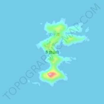
Name: 东台山岛 topographic map, elevation, terrain.
Location: 东台山岛, 猛仔澳, 福鼎市, 宁德市, 福建省, 中国 (26.97689 120.70741 26.99473 120.72312)
Average elevation: 16 ft
Minimum elevation: 0 ft
Maximum elevation: 535 ft