
Palanda topographic map
Interactive map
Click on the map to display elevation.
About this map
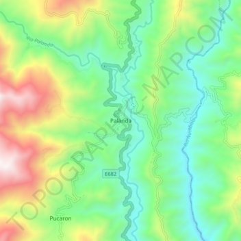
Name: Palanda topographic map, elevation, terrain.
Location: Palanda, Cantón Palanda, Zamora Chinchipe, Ecuador (-4.68983 -79.17186 -4.60983 -79.09186)
Average elevation: 4,344 ft
Minimum elevation: 2,867 ft
Maximum elevation: 7,392 ft