
Waya topographic map
Interactive map
Click on the map to display elevation.
About this map
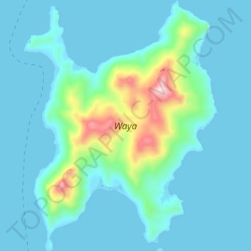
Name: Waya topographic map, elevation, terrain.
Location: Waya, Yamata, Western, Fiji (-17.32368 177.09806 -17.25829 177.15099)
Average elevation: 230 ft
Minimum elevation: 0 ft
Maximum elevation: 1,657 ft