Geolocate

Del Rio topographic map

Click on the map to display elevation.

About this map

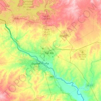
Name: Del Rio topographic map, elevation, terrain.

Location: Del Rio, Val Verde County, Texas, 78841, United States (29.20554 -101.05470 29.52554 -100.73470)

Average elevation: 1,070 ft

Minimum elevation: 830 ft

Maximum elevation: 1,352 ft

Val Verde County trails, hiking, mountain biking, running and outdoor activities

Gear up for your next adventure:

🔋Solar Power Banks - Keep your GPS and phone charged in remote wilderness areas
Solar GPS Watches - Advanced multisport watches with built-in topographic maps
GPS Sports Watch - GPS watch for running, hiking and training
🦶Carbon Trekking Poles - Reduce knee impact on steep descents with ultra-light poles
🎒Trekking Poles - Sturdy poles for balance and stability on rough terrain

As an Amazon Associate, this site earns from qualifying purchases at no extra cost to you.