Geolocate

Mabato topographic map

Click on the map to display elevation.

About this map

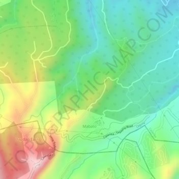
Name: Mabato topographic map, elevation, terrain.

Location: Mabato, Calamba, Laguna, Calabarzon, 4027, Philippines (14.15269 121.02181 14.17199 121.04871)

Average elevation: 1,158 ft

Minimum elevation: 735 ft

Maximum elevation: 1,831 ft

Other topographic maps

Click on a map to view its topography, its elevation and its terrain.

La Mesa

Philippines > Laguna > Calamba

Average elevation: 787 ft

88 Spa & Resort

Philippines > Laguna > Calamba

Average elevation: 272 ft

San Juan River

Philippines > Laguna > Calamba

Average elevation: 30 ft

Gear up for your next adventure:

💧Water Filtration Bottles - Safely drink from streams and lakes while exploring
🚗GPS Dash Cams - Record your scenic drives through mountain passes and canyons
💧Water Purification System - Clean water on the trail with reliable purifiers
🏕️Family Camping Gear - Essentials for group camping trips
🧭Outdoor Navigation Book - Learn advanced navigation skills

As an Amazon Associate, this site earns from qualifying purchases at no extra cost to you.