
Cherry Creek State Park topographic map
Interactive map
Click on the map to display elevation.
About this map
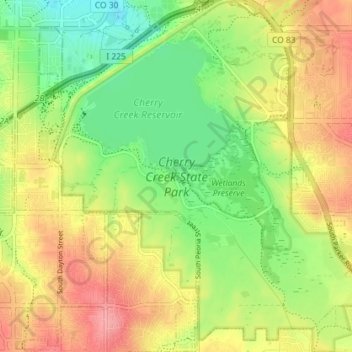
Name: Cherry Creek State Park topographic map, elevation, terrain.
Average elevation: 5,620 ft
Minimum elevation: 5,476 ft
Maximum elevation: 5,778 ft