
Springe topographic map
Interactive map
Click on the map to display elevation.
About this map
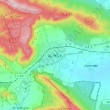
Name: Springe topographic map, elevation, terrain.
Location: Springe, Region Hannover, Nedersaksen, 31832, Duitsland (52.16993 9.51816 52.24993 9.59816)
Average elevation: 610 ft
Minimum elevation: 272 ft
Maximum elevation: 1,325 ft