
Duyure topographic map
Interactive map
Click on the map to display elevation.
About this map
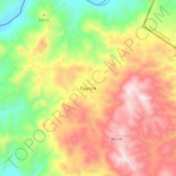
Name: Duyure topographic map, elevation, terrain.
Location: Duyure, Choluteca, Honduras (13.59411 -86.85170 13.67411 -86.77170)
Average elevation: 2,398 ft
Minimum elevation: 771 ft
Maximum elevation: 4,032 ft