
Monte Marrone topographic map
Interactive map
Click on the map to display elevation.
About this map
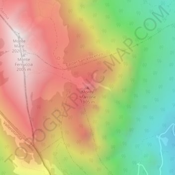
Name: Monte Marrone topographic map, elevation, terrain.
Location: Monte Marrone, Rocchetta a Volturno, Isernia, Molise, Italia (41.63310 14.00785 41.63320 14.00795)
Average elevation: 4,698 ft
Minimum elevation: 2,569 ft
Maximum elevation: 6,614 ft