
Carlos topographic map
Interactive map
Click on the map to display elevation.
About this map
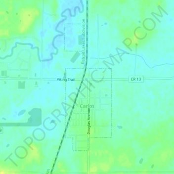
Name: Carlos topographic map, elevation, terrain.
Location: Carlos, Douglas County, Minnesota, United States of America (45.96552 -95.29738 45.98521 -95.28679)
Average elevation: 1,371 ft
Minimum elevation: 1,352 ft
Maximum elevation: 1,411 ft