
Kaliachak topographic map
Interactive map
Click on the map to display elevation.
About this map
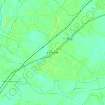
Name: Kaliachak topographic map, elevation, terrain.
Location: Kaliachak, Kaliachak - I, Maldah, West Bengal, 732201, India (24.82262 87.97862 24.90262 88.05862)
Average elevation: 85 ft
Minimum elevation: 62 ft
Maximum elevation: 112 ft