
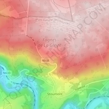
Monthouet topographic map
Interactive map
Click on the map to display elevation.
About this map
Name: Monthouet topographic map, elevation, terrain.
Location: Monthouet, Stoumont, Verviers, Luik, Wallonië, 4987, België (50.40141 5.78822 50.44141 5.82822)
Average elevation: 1,394 ft
Minimum elevation: 594 ft
Maximum elevation: 1,854 ft