
Tala topographic map
Interactive map
Click on the map to display elevation.
About this map
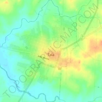
Name: Tala topographic map, elevation, terrain.
Location: Tala, Canelones, 91400, Uruguai (-34.35823 -55.78097 -34.32815 -55.75182)
Average elevation: 236 ft
Minimum elevation: 184 ft
Maximum elevation: 308 ft