
Waynesburg topographic map
Interactive map
Click on the map to display elevation.
About this map
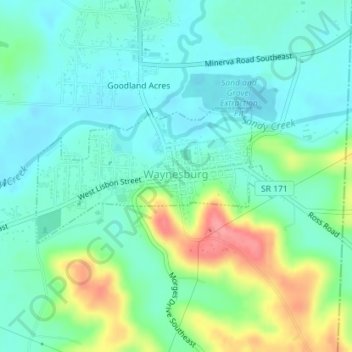
Name: Waynesburg topographic map, elevation, terrain.
Location: Waynesburg, Stark County, Ohio, United States (40.66246 -81.27157 40.67286 -81.24712)
Average elevation: 1,030 ft
Minimum elevation: 948 ft
Maximum elevation: 1,240 ft