
Otavi topographic map
Interactive map
Click on the map to display elevation.
About this map
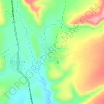
Name: Otavi topographic map, elevation, terrain.
Location: Otavi, Provincia José Maria Linares, Potosí, Bolivia (-20.05350 -65.33619 -20.04812 -65.33016)
Average elevation: 10,981 ft
Minimum elevation: 10,778 ft
Maximum elevation: 11,243 ft