
Goeree-Overflakkee topographic map
Interactive map
Click on the map to display elevation.
About this map
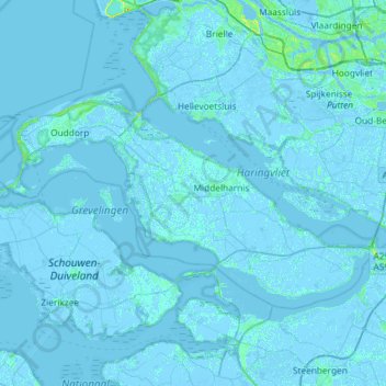
Name: Goeree-Overflakkee topographic map, elevation, terrain.
Location: Goeree-Overflakkee, Zuid-Holland, Nederland (51.65445 3.83738 51.85072 4.40760)
Average elevation: 0 ft
Minimum elevation: -16 ft
Maximum elevation: 85 ft
Other topographic maps
Click on a map to view its topography, its elevation and its terrain.
Ooltgensplaat
Nederland > Zuid-Holland > Goeree-Overflakkee
Ooltgensplaat, Goeree-Overflakkee, Zuid-Holland, Nederland
Average elevation: 0 ft