
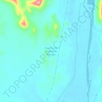
Rancho de Florentino Villegas topographic map
Interactive map
Click on the map to display elevation.
About this map
Name: Rancho de Florentino Villegas topographic map, elevation, terrain.
Location: Rancho de Florentino Villegas, Cajeme, Sonora, México (27.73850 -109.93750 27.77850 -109.89750)
Average elevation: 213 ft
Minimum elevation: 128 ft
Maximum elevation: 840 ft