
Étang de la Vallée topographic map
Interactive map
Click on the map to display elevation.
About this map
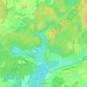
Name: Étang de la Vallée topographic map, elevation, terrain.
Average elevation: 423 ft
Minimum elevation: 381 ft
Maximum elevation: 466 ft
Other topographic maps
Click on a map to view its topography, its elevation and its terrain.
La Bastière
France > Centre-Val de Loire > Combreux > La Bastière
La Bastière, Combreux, Orléans, Loiret, Centre-Val de Loire, France métropolitaine, 45530, France
Average elevation: 420 ft