
Sti Fadma topographic map
Interactive map
Click on the map to display elevation.
About this map
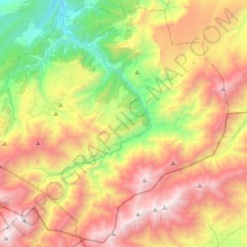
Name: Sti Fadma topographic map, elevation, terrain.
Average elevation: 7,464 ft
Minimum elevation: 3,038 ft
Maximum elevation: 12,766 ft
Other topographic maps
Click on a map to view its topography, its elevation and its terrain.
Setti Fatma
Setti Fatma, Sti Fadma, caïdat de Sti Fadma, Cercle de Tahannaout, Province d'Al Haouz, Marrakech-Safi, Maroc
Average elevation: 6,148 ft