
Zerzour topographic map
Interactive map
Click on the map to display elevation.
About this map
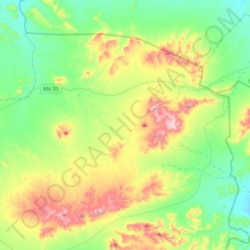
Name: Zerzour topographic map, elevation, terrain.
Location: Zerzour, Ben Srour District, M'Sila, Algeria (34.95757 4.69805 35.14693 5.01148)
Average elevation: 2,083 ft
Minimum elevation: 1,535 ft
Maximum elevation: 3,232 ft