
Ban Luang topographic map
Interactive map
Click on the map to display elevation.
About this map
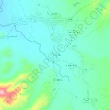
Name: Ban Luang topographic map, elevation, terrain.
Location: Ban Luang, Nan Province, Thailand (18.81687 100.41831 18.85687 100.45831)
Average elevation: 1,247 ft
Minimum elevation: 1,106 ft
Maximum elevation: 1,745 ft