
Hamdan topographic map
Interactive map
Click on the map to display elevation.
About this map
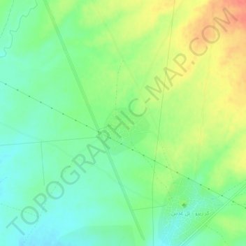
Name: Hamdan topographic map, elevation, terrain.
Location: Hamdan, Al-Hasakah, Syria (37.00389 42.05056 37.04389 42.09056)
Average elevation: 1,601 ft
Minimum elevation: 1,532 ft
Maximum elevation: 1,703 ft