
Magangué topographic map
Interactive map
Click on the map to display elevation.
About this map
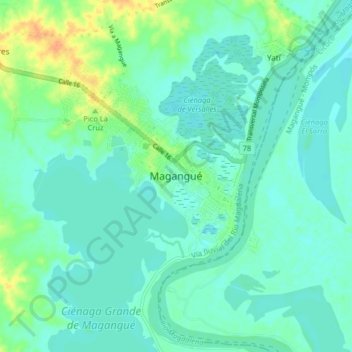
Name: Magangué topographic map, elevation, terrain.
Location: Magangué, Bolívar, Colombia (9.20121 -74.79674 9.28121 -74.71674)
Average elevation: 62 ft
Minimum elevation: 33 ft
Maximum elevation: 148 ft