
Kalar topographic map
Interactive map
Click on the map to display elevation.
About this map
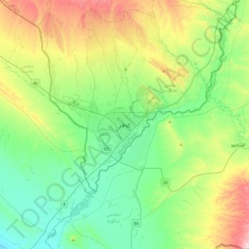
Name: Kalar topographic map, elevation, terrain.
Location: Kalar, Diyala, 46021, Iraq (34.58950 45.27588 34.66950 45.35588)
Average elevation: 748 ft
Minimum elevation: 650 ft
Maximum elevation: 1,102 ft