
Kabogi topographic map
Interactive map
Click on the map to display elevation.
About this map
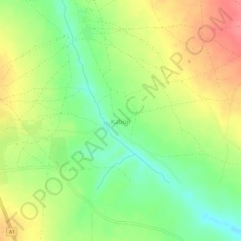
Name: Kabogi topographic map, elevation, terrain.
Location: Kabogi, Mashegu, Niger State, Nigeria (10.08910 5.40664 10.12910 5.44664)
Average elevation: 902 ft
Minimum elevation: 784 ft
Maximum elevation: 1,030 ft