
Stonington topographic map
Interactive map
Click on the map to display elevation.
About this map
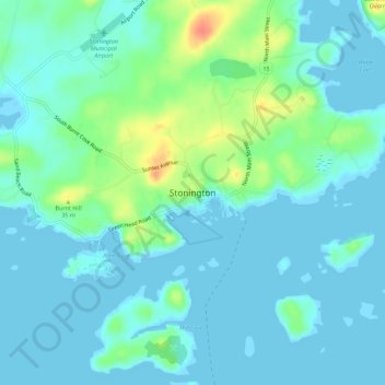
Name: Stonington topographic map, elevation, terrain.
Location: Stonington, Hancock County, Maine, 04681, United States (44.13659 -68.68730 44.17659 -68.64730)
Average elevation: 33 ft
Minimum elevation: -7 ft
Maximum elevation: 157 ft