
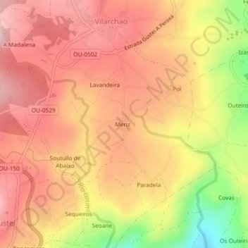
Coles topographic map
Interactive map
Click on the map to display elevation.
About this map
Name: Coles topographic map, elevation, terrain.
Location: Coles, Orense, Galicia, España (42.40042 -7.83730 42.40251 -7.83492)
Average elevation: 1,089 ft
Minimum elevation: 486 ft
Maximum elevation: 1,417 ft