
Rostad topographic map
Interactive map
Click on the map to display elevation.
About this map
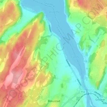
Name: Rostad topographic map, elevation, terrain.
Location: Rostad, Fredrikstad, Østfold, 1665, Norway (59.26316 10.98068 59.30316 11.02068)
Average elevation: 144 ft
Minimum elevation: -10 ft
Maximum elevation: 384 ft