
Neiba topographic map
Interactive map
Click on the map to display elevation.
About this map
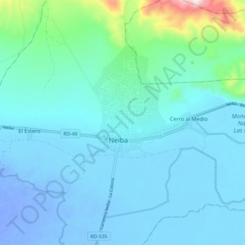
Name: Neiba topographic map, elevation, terrain.
Location: Neiba, Baoruco, República Dominicana (18.44535 -71.45992 18.52535 -71.37992)
Average elevation: 217 ft
Minimum elevation: -112 ft
Maximum elevation: 1,857 ft