
Saint Ives topographic map
Interactive map
Click on the map to display elevation.
About this map
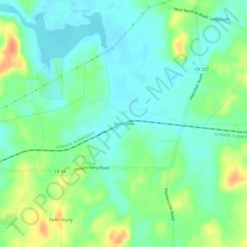
Name: Saint Ives topographic map, elevation, terrain.
Location: Saint Ives, Talladega County, Alabama, United States (33.41011 -86.27025 33.45011 -86.23025)
Average elevation: 515 ft
Minimum elevation: 463 ft
Maximum elevation: 623 ft