
Zvishavane topographic map
Interactive map
Click on the map to display elevation.
About this map
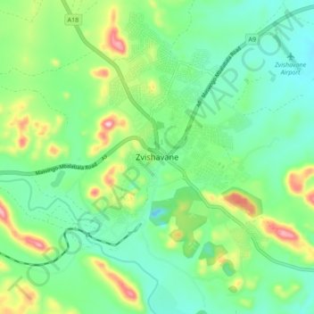
Name: Zvishavane topographic map, elevation, terrain.
Location: Zvishavane, Zvishawane, Midlands Province, Zimbabwe (-20.35591 30.01269 -20.27591 30.09269)
Average elevation: 3,146 ft
Minimum elevation: 2,890 ft
Maximum elevation: 3,753 ft