
Thank you for supporting this site ❤️
Make a donation
Make a donation
Gear up for your next adventure:
As an Amazon Associate, this site earns from qualifying purchases at no extra cost to you.
Río Ebro topographic map
Click on the map to display elevation.
Thank you for supporting this site ❤️
Make a donation
Make a donation
Gear up for your next adventure:
As an Amazon Associate, this site earns from qualifying purchases at no extra cost to you.
Río Ebro
Tradicionalmente se ha considerado que el Ebro nace en Fontibre (del latín Fontes Hiberis o fuentes del Ebro), manantial situado a 880 m s. n. m. de altitud en la Hermandad de Campoo de Suso, en Cantabria.
Thank you for supporting this site ❤️
Make a donation
Make a donation
Gear up for your next adventure:
As an Amazon Associate, this site earns from qualifying purchases at no extra cost to you.
About this map
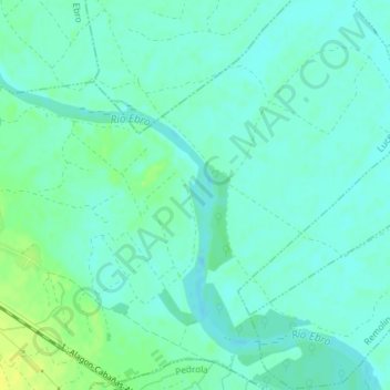
Name: Río Ebro topographic map, elevation, terrain.
Average elevation: 732 ft
Minimum elevation: 712 ft
Maximum elevation: 774 ft
Thank you for supporting this site ❤️
Make a donation
Make a donation
Gear up for your next adventure:
As an Amazon Associate, this site earns from qualifying purchases at no extra cost to you.