
Sidi Belkacem topographic map
Interactive map
Click on the map to display elevation.
About this map
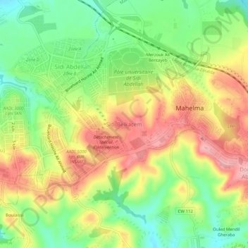
Name: Sidi Belkacem topographic map, elevation, terrain.
Location: Sidi Belkacem, Mâalma, Daïra Zéralda, Alger, 16063, Algérie (36.65976 2.84443 36.69976 2.88443)
Average elevation: 443 ft
Minimum elevation: 213 ft
Maximum elevation: 692 ft