
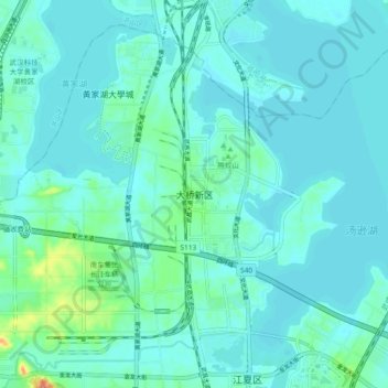
大桥新区 topographic map
Interactive map
Click on the map to display elevation.
About this map
Name: 大桥新区 topographic map, elevation, terrain.
Location: 大桥新区, 江夏区, 湖北省, 中国 (30.37620 114.26350 30.45620 114.34350)
Average elevation: 79 ft
Minimum elevation: 49 ft
Maximum elevation: 266 ft