
Gbon topographic map
Interactive map
Click on the map to display elevation.
About this map
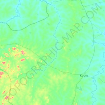
Name: Gbon topographic map, elevation, terrain.
Location: Gbon, Bagoué, Savanes, Côte d'Ivoire (9.75449 -6.76770 10.24165 -6.35060)
Average elevation: 1,266 ft
Minimum elevation: 1,079 ft
Maximum elevation: 2,503 ft
Other topographic maps
Click on a map to view its topography, its elevation and its terrain.
Toumoukoro
Côte d'Ivoire > Savanes > Toumoukoro
Toumoukoro, Tchologo, Savanes, Côte d'Ivoire
Average elevation: 1,165 ft