
Hantum topographic map
Interactive map
Click on the map to display elevation.
About this map
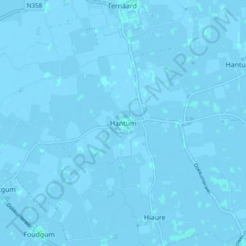
Name: Hantum topographic map, elevation, terrain.
Location: Hantum, Noardeast-Fryslân, Friesland, Nederland, 9147, Nederland (53.34284 5.94416 53.38284 5.98416)
Average elevation: -3 ft
Minimum elevation: -13 ft
Maximum elevation: 7 ft