
Rivera topographic map
Interactive map
Click on the map to display elevation.
About this map
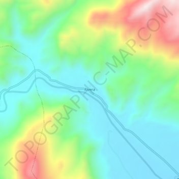
Name: Rivera topographic map, elevation, terrain.
Location: Rivera, Lampa, Puno, Peru (-15.28406 -70.50354 -15.24406 -70.46354)
Average elevation: 13,461 ft
Minimum elevation: 12,861 ft
Maximum elevation: 14,793 ft