
Paris topographic map
Interactive map
Click on the map to display elevation.
About this map
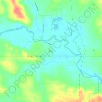
Name: Paris topographic map, elevation, terrain.
Location: Paris, Linn County, Iowa, 52218, United States of America (42.22040 -91.59878 42.26040 -91.55878)
Average elevation: 883 ft
Minimum elevation: 820 ft
Maximum elevation: 1,017 ft