
Sto. Niño topographic map
Interactive map
Click on the map to display elevation.
About this map
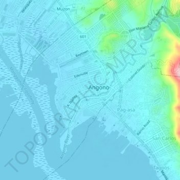
Name: Sto. Niño topographic map, elevation, terrain.
Location: Sto. Niño, Rizal, Calabarzon, 1930, Philippines (14.50559 121.13060 14.54559 121.17060)
Average elevation: 62 ft
Minimum elevation: -10 ft
Maximum elevation: 689 ft