
Männedorf topographic map
Interactive map
Click on the map to display elevation.
About this map
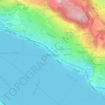
Name: Männedorf topographic map, elevation, terrain.
Location: Männedorf, Bezirk Meilen, Zurich, 8708, Suisse (47.23461 8.66980 47.27347 8.71504)
Average elevation: 1,522 ft
Minimum elevation: 1,319 ft
Maximum elevation: 2,169 ft