
Iba topographic map
Click on the map to display elevation.
About this map
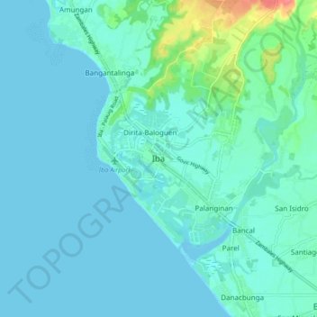
Name: Iba topographic map, elevation, terrain.
Location: Iba, Zambales, Central Luzon, 2201, Philippines (15.28646 119.94010 15.36646 120.02010)
Average elevation: 30 ft
Minimum elevation: -3 ft
Maximum elevation: 210 ft
Other topographic maps
Click on a map to view its topography, its elevation and its terrain.