
Arsiè topographic map
Interactive map
Click on the map to display elevation.
About this map
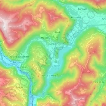
Name: Arsiè topographic map, elevation, terrain.
Location: Arsiè, BL, Venetien, Italien (45.92189 11.66659 46.02655 11.80392)
Average elevation: 2,359 ft
Minimum elevation: 636 ft
Maximum elevation: 4,948 ft