
Shoja topographic map
Interactive map
Click on the map to display elevation.
About this map
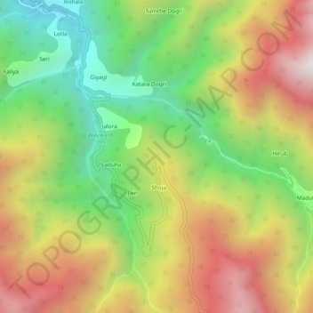
Name: Shoja topographic map, elevation, terrain.
Location: Shoja, Banjar, Kullu, Himachal Pradesh, India (31.54827 77.35098 31.58827 77.39098)
Average elevation: 8,156 ft
Minimum elevation: 5,942 ft
Maximum elevation: 10,712 ft