
Lulu topographic map
Interactive map
Click on the map to display elevation.
About this map
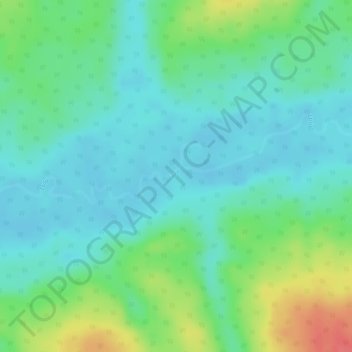
Name: Lulu topographic map, elevation, terrain.
Location: Lulu, Tshopo, RD Congo (2.06647 24.41108 2.06785 24.41605)
Average elevation: 1,391 ft
Minimum elevation: 1,322 ft
Maximum elevation: 1,542 ft
Other topographic maps
Click on a map to view its topography, its elevation and its terrain.